Trail ring Recco - Verzemma - Piane di Capreno - Capreno - Rupanego - S. Apollinare

Recco - Verzemma - Piane di Capreno - Capreno - Rupanego - S. Apollinare
  • Recco - Verzemma - Piane di Capreno - Capreno - Rupanego - S. Apollinare
  • Recco - Verzemma - Piane di Capreno - Capreno - Rupanego - S. Apollinare
Difficulty Medium
Duration 4h 30'
Length Km 11,700
Footpath signs Segnavia + Segnavia
Dislivello 8m - 525m | dislivello positivo 771m | dislivello positivo 770m
PartenzaStarting point
Passing through

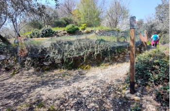
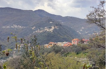
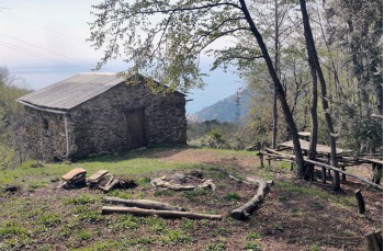
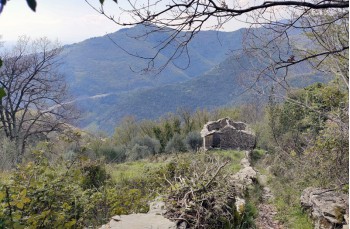
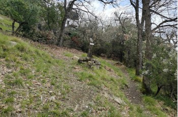
 A very pleasant loop path from Recco passing through several hilly towns, crossing woods, ridge paths, and small inhabited centers.

The starting point is in Recco, in San Rocco place, near the football field, which is reached by crossing the bridge just after the church (here there is parking space for cars and motorcycles).
The ascent begins immediately by taking the left onto Salita Inopeo, a long staircase that runs alongside some houses, crossing the drivable road several times and walking for a while alongside the highway.

After passing by a picturesque stone chapel that houses the Madonnetta, from which the locality takes its name, the ascent becomes a bit steeper and reaches Verzemma.
After crossing the countryside surrounding the delightful hamlet, you reach a kind of crossroads where there are no signs and it is not very clear that you need to keep right to climb slightly and meet, immediately after, the first signpost of our route that directs us towards Piane di Capreno.

The path, now narrow and flanked by characteristic stone boundary walls, crosses a wood passing by a small building where, with a little effort, you can read the inscription 'Casin du Canun', once used by the members of the Verzemma district (source: Michele Picco, hiking guide), and emerges at Piane di Capreno, where the wood gives way to spacious green meadows.

From here, following the signs, you descend to the left to reach Capreno in about 20 minutes, following a particularly pleasant path that encounters numerous abandoned stone houses and offers panoramic views of the Golfo Paradiso.
Before reaching the inhabited center of Capreno, turn left (but those who need to replenish water or want to visit the hamlet can make a detour before continuing) following the wooden sign that indicates Rupanego Segnavia, another nice small village where we arrive after about 20 minutes of walking on a flat path through the countryside.

After the last house, you ascend to the left on a steep cement road to resume the path on the right, which runs alongside other houses and ends up on Via al Casello, a long dirt road that leads to the hamlet of San Bartolomeo (those who want to visit the hamlet must descend to the left).
You walk a few meters to the left on the asphalt road and leave it when you spot, on the left, a path that enters the bushes and advances for a stretch parallel to the road, reaching the panoramic church of Sant'Apollinare, which is worth a stop.

To continue our itinerary, you need to go back a few meters and find a path on the right, marked with FIE signs Segnavia, and climbs steeply in the woods on the right, passing in front of a water cistern, until it intersects with the path coming from Sant'Uberto.
Afterwards, you continue on a mostly flat path with some ups and downs until reaching Casetta Pineta, and then a little over 800 meters later, you arrive at the location of Sullagà.

Here one must pay attention: climb a few meters to the right to take a poorly visible path that enters the woods and, after about 800 meters, rejoins the path Verzemma - Costa di Verzemma. After about 300 meters downhill, take a narrow path on the right between terraced walls that descends a bit rough and reaches the signpost for Verzemma 5 and immediately after that for Verzemma 1.

You continue descending towards Recco until you reach the location "Madonnetta", and from there, following the same path as on the way there, you arrive back to the starting point.


Unlock, view and download the trail track by purchasing a map.

The path tracked tracciato by GPS

Data sheet

Time
From 4h to 5h
Length Km
10 - 15
Difficulty
Medium