- Out-of-Stock
Chignero - Passo Serra - Passo della Spinarola - Monte Tugio


| Difficulty | Medium - High |
| Duration | 2h 00' |
| Length Km | 3,100 |
| Footpath signs | |
This itinerary allows you to reach Monte Tugio, located between the towns of Tribogna and Uscio, from Rapallo. We haven't outlined the return route because there are several options based on the time available and individual fitness levels: you can retrace the same path; continue to Uscio - Colle Caprile; or return to Passo della Spinarola and continue on the Pendici del Monte Bello - Passo del Gallo trail.
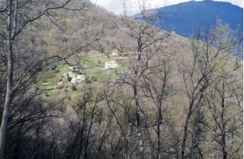
The starting point is Chignero, a hamlet of Rapallo about 5 kilometers from the highway exit, reachable by small buses that depart from the train station (check the schedule here as the runs are infrequent and only on weekdays).
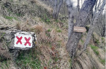
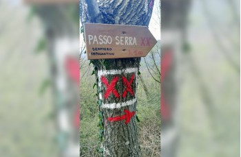
Walk a few meters on the paved road that ascends from the church, then turn left following clear signs for Passo Serra and the trail marker ![]() .
.
The path starts out on level ground and then ascends with a series of stone steps into the forest, crossing a mostly dry stream, and arriving at a junction where signs indicate to continue uphill.
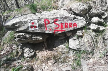
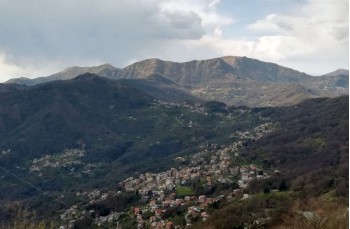
Soon, you'll emerge from the woods, and an open view of Rapallo and the Portofino Promontory characterizes the section leading to the ridge trail, and after a short distance, you'll arrive at Passo Serra.
Now, follow the trail marker ![]() , and the path narrows as it crosses a damper, shaded slope, encountering some streams and a spring. Imperceptibly losing elevation, in about 1 hour, you'll reach Passo della Spinarola on a drivable road (here, a signboard displays the map of the area).
, and the path narrows as it crosses a damper, shaded slope, encountering some streams and a spring. Imperceptibly losing elevation, in about 1 hour, you'll reach Passo della Spinarola on a drivable road (here, a signboard displays the map of the area).
Above us, you'll see the bridge that crosses the road from Caravaggio; take this path towards Colle Caprile, and after a few meters, turn right in the direction of "Monte Tugio (or Tuggio)."
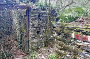
The ascent is pleasant and not strenuous, marked with ![]() for a short stretch. Afterward, there are no trail markers, but it's impossible to lose the track (pay attention as it's also a mountain biking route).
for a short stretch. Afterward, there are no trail markers, but it's impossible to lose the track (pay attention as it's also a mountain biking route).
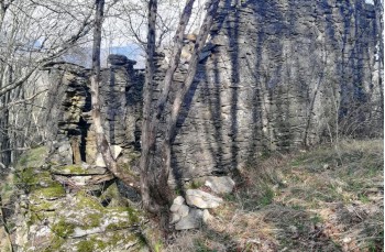
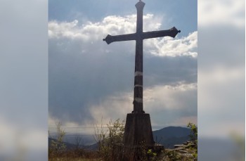
After about 800 meters and 20 minutes of walking, you'll reach the summit of Monte Tugio (677 meters above sea level). You'll recognize it by the cement cross facing the valley, the remains of an ancient fortification of the Genoese Republic, and some unsightly antennas.
Climb up and enjoy the fantastic panorama.
Unlock, view and download the gpx track by becoming a Supporter.
Data sheet

| Difficulty | Medium - High |
| Duration | 2h 00' |
| Length Km | 3,100 |
| Footpath signs | |