- Out-of-Stock
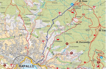
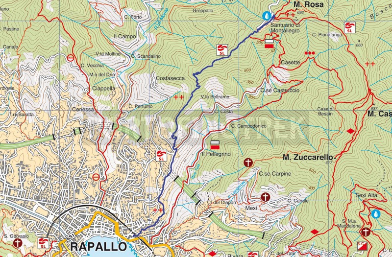
Rapallo - Montallegro


| Difficulty | Low |
| Duration | 1h 20' |
| Length Km | 3,800 |
| Footpath signs | |
The departure is from Via Don Minzoni, which you leave after about 200 meters by turning left onto Salita Calissano, which continues with Salita Montallegro and leads you to the small church of San Bartolomeo. Continue along the trail until you reach the location of Pellegrino.
Turn left onto the asphalt road for about 50 meters, then resume the trail on the right, which now becomes steeper.
The trail continues with zigzags, alternating between shadier sections through the forest and more open sections (and very sunny in the summer).
Along the way, a yellow stone indicates you're halfway; followed by a small stone shelter, the only refuge in case of a sudden storm.
If you're lucky to find it free, you can pause for a moment on the stone bench you'll encounter shortly after to admire the beautiful view that opens up before your eyes.
A short, flatter section (but slippery on particularly wet days) with a view of San Maurizio dei Monti precedes a series of steps leading to the cable car station. From there, continue on the shaded avenue that leads to the base of the imposing staircase of Santuario di Montallegro.
From the sanctuary, which houses a permanent handmade nativity scene and an exhibition of religious ex-votos, you can journey to Monte Rosa via the path behind the church, which will take you to the summit in 10 minutes, retracing the steps of the Stations of the Cross.
It's also possible to start from the funicular (Via Maggiocco), taking the ascent of Il Pellegrino, a path consisting of several flights of stairs that joins the itinerary described above at the location of Pellegrino.
Unlock, view and download the gpx track by becoming a Supporter.
Data sheet
| Difficulty | Low |
| Duration | 1h 20' |
| Length Km | 3,800 |
| Footpath signs | |