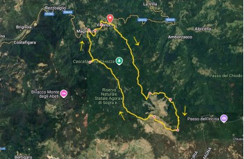
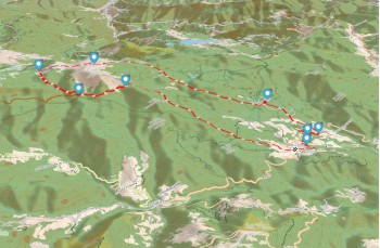
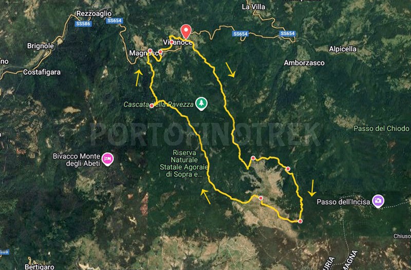
Circular trail Villanoce - Monte Aiona - Magnasco

| Difficulty | Medium |
| Duration | 5h 30' |
| Length Km | 17,500 |
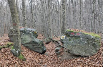
| Footpath signs | |
You can support us by becoming one of our Supporters.
A great little help that will allow you to access all the contents of the site.
Are you already Supporter?
Log in now
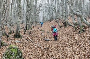
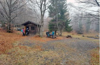
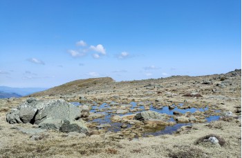
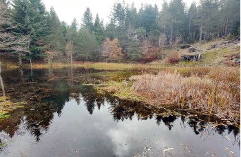
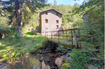
Loop itinerary to climb Monte Aiona starting from Villanoce, a welcoming village in the Val D’Aveto located along state road 654 between Rezzoaglio and Santo Stefano D’Aveto, also reachable by bus from Chiavari.
A hike that can be enjoyed all year round, especially pleasant in summer when the valley offers cooler temperatures than the coast
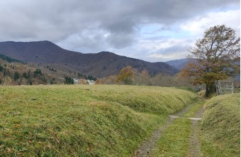
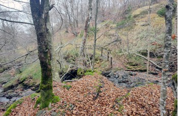
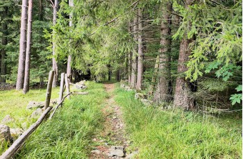
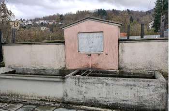
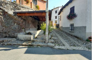
The itinerary starts just after the...
You can support us by becoming one of our Supporters.
A great little help that will allow you to access all the contents of the site.
Are you already Supporter?
Log in now
| Difficulty | Medium |
| Duration | 5h 30' |
| Length Km | 17,500 |
| Footpath signs | |