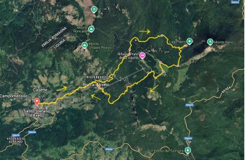
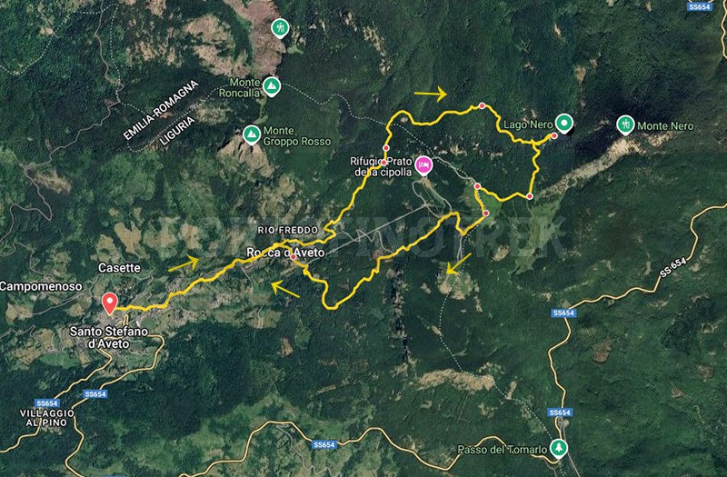
Circular trail S. Stefano d'Aveto - Lago Nero - Monte Bue - Rocca d'Aveto
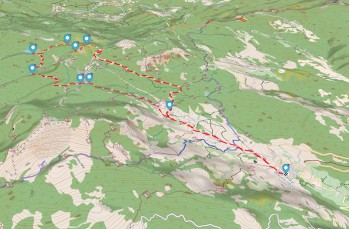
Difficulty Medium
Duration 5h 10'
Length Km 12,300
Footpath signs Cerchio vuoto + Rombo giallo + Segnavia CAI
Dislivello1013m - 1755m | dislivello positivo 850m | dislivello positivo 850m
StartStarting point
Passing through

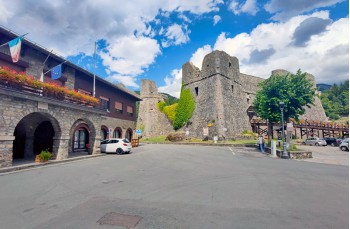
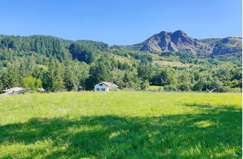
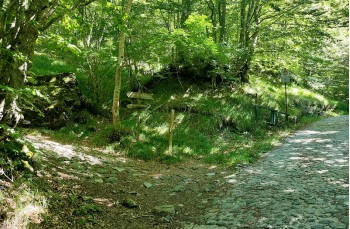
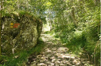
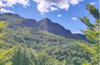
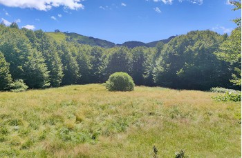
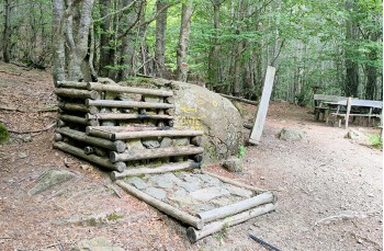
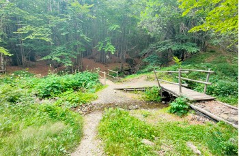
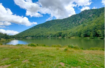
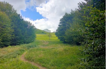
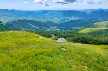
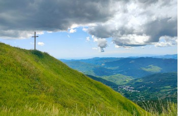
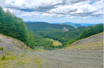
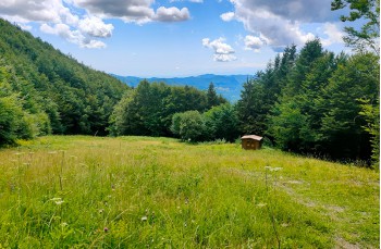
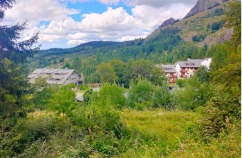
Loop itinerary from Santo Stefano D’Aveto, a renowned holiday small city in the Ligurian hinterland at 1012 m above sea level, passing by Lago Nero and the summit of Monte Bue.

Santo Stefano D’Aveto can be reached by car in a couple of hours from Chiavari by following the SS 586 to Rezzoaglio and then continuing on the SS 654; also accessible by public bus from Chiavari.

The hike begins at the Malaspina Fieschi Doria castle, which you skirt on the left before continuing along Via San Lorenzo and, at the junction, keeping right to pass through the hamlet of Roncolongo.

After the last houses, rejoin the dirt road on the right for about a hundred meters until you reach a short shortcut on the right that cuts a bend and emerges back onto the road near Rocca D’Aveto.

After a short uphill stretch, on the left, a trail enters the forest and then continues in a more open area above the village, emerging near the parking lot where you will find the signpost of the Aveto Park and the trail markers for the various paths available.

The direction to follow is towards Lago Nero, marked by a trail sign Empty circle along a wide paved road climbing into the forest.
At the junction, turn left as indicated, climbing more steeply to reach a small rest area with a table and two benches, next to a source of fresh drinking water.

Following the trail markers, continue climbing along the mule track, ignoring a left turn, to cross first a wooded area and then a more open rocky stretch, arriving at Prato Lamissora, a large meadow with benches and a table.
Here, turn left, still uphill, to quickly reach Passo della Roncalla, a trail crossroads where, as indicated by the park signpost, you continue straight ahead, as at the next junction.

At a bench near a sign indicating Lago Nero as a 35-minute walk, begin the descent into the forest towards the Fontana ghiacciata (in August there was no water), which you reach in about 20 minutes.
Cross the wooden bridge, continue straight, then climb to the right to reach a panoramic viewpoint, and then descend to Lago Nero, a glacial-origin lake in the Piacenza province, surrounded by fir and beech trees that make it particularly picturesque.
The rest area with two large tables is ideal for a relaxing lunch break.

Retrace part of the outbound trail to reach the junction where, this time, you follow the signs for Monte Bue. Climb through a beautiful beech forest, where some trees display the CAI trail marker CAI trail marker, to reach Sella Costazza, a vast meadow crossed until a junction.
Here, turn right onto the dirt track climbing among trees and then continue on grassy terrain, where numerous wild blueberry plants are recognizable, approaching the refuge.

Now follow the small trail to the right that skirts the mountain summit to join another path that goes up, but with a short detour of a few minutes leads to Groppo delle Ali (1751 m), a highly panoramic point where a small bench has been placed to stop and admire the incredible natural scenery.

From here, just a few steps take you to the Monte Bue summit, a peak of the Ligurian Apennines on the border with Emilia Romagna at 1780 m, where the namesake refuge is located (contact in advance to check opening times and availability) as well as the top station of the chairlift from Prato della Cipolla.

Descend now along the "red" ski slope, passing under the wooden cross to reach a junction where you must continue downhill to the right (left leads to Monte Maggiorasca) following the trail marker Yellow diamond.
The steep slope and rocky terrain require great care to avoid slipping.

At the junction, leave the Yellow diamond descends to Prato della Cipolla, and instead continue left, descending through a grassy, less tricky area.
This is followed by a flatter stretch surrounded by beech trees before resuming a sometimes steep and rocky descent, with a series of switchbacks leading back to a flat dirt road.

From here, with a gentle descent, approach Rocca D’Aveto, crossing a large meadow and then briefly through a forest where there is a source of fresh water, until you arrive at the chairlift’s base station.

Following the road to the left, pass through the village center, where there is also a bar, and after the last houses, rejoin on the right the outbound route, which you follow entirely to return to Santo Stefano D’Aveto, the welcoming Ligurian village offering various accommodation options and the chance to buy local products.

The path on Google Map

Unlock, view and download the gpx track by becoming a Supporter.

Data sheet

Time
From 5h to 7h
Length Km
10 - 15
Difficulty
Medium

Download

Download is reserved for Portofinotrek supporters.

You can support us by becoming one of our Supporters.
A great little help that will allow you to access all the contents of the site.

Learn more.

Are you already Supporter?
Log in now