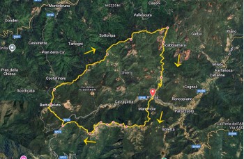
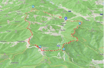
Trail Priosa - Passo della Scoglina - Barbagelata - Monte Laghicciola - Salto - Priosa


| Difficulty | High |
| Duration | 7h 20' |
| Length Km | 22,500 |
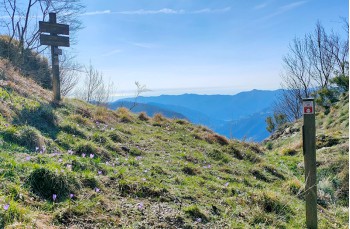
| Footpath signs | |
You can support us by becoming one of our Supporters.
A great little help that will allow you to access all the contents of the site.
Are you already Supporter?
Log in now
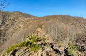
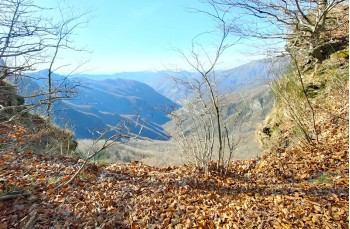
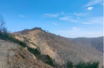
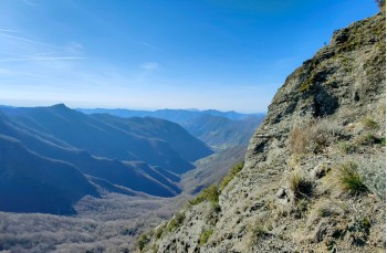
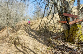
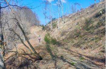
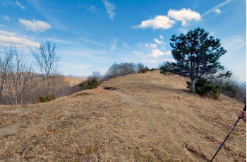
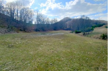
A long and demanding itinerary suitable for those with good physical preparation and the ability to handle significant elevation changes on terrain that is not always easy.
Due to the duration of the hike, it is advisable to undertake it when the days are longer and to start with a good supply of water.
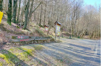
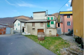
The starting point is Priosa, a hamlet of Rezzoaglio, accessible from the Val Fontanabuona...
You can support us by becoming one of our Supporters.
A great little help that will allow you to access all the contents of the site.
Are you already Supporter?
Log in now

| Difficulty | High |
| Duration | 7h 20' |
| Length Km | 22,500 |
| Footpath signs | |