- Out-of-Stock
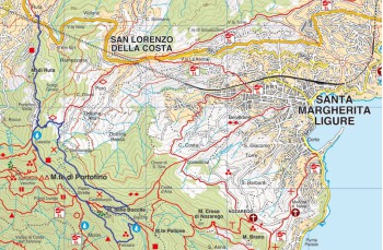
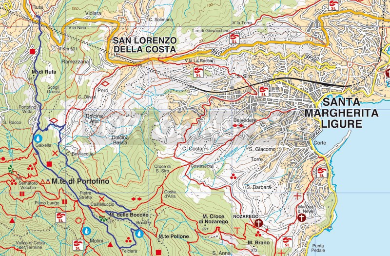
Ruta - Pietre Strette - Felciara - Bocche - Dolcina - Ruta


| Difficutly | Low |
| Duration | 3h 00' |
| Length km | 8,500 |
| Footpath signs | |
You can support us by becoming one of our Supporters.
A great little help that will allow you to access all the contents of the site.
Are you already Supporter?
Log in now
Starting point for this ring from Ruta of Camogli is Gaixella Street, the path at the Church of St. Michael the Archangel (accessed by stairs next to the gallery).
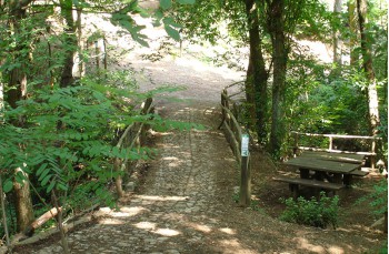
Take the road made up of concrete steps, in some places a little battered that wind through the houses and that, soon after, leaving room for the cobbles. Along the climb, miss you encounter some deviations (on the right there is a link to...
You can support us by becoming one of our Supporters.
A great little help that will allow you to access all the contents of the site.
Are you already Supporter?
Log in now
You might also be interested in
| Difficutly | Low |
| Duration | 3h 00' |
| Length km | 8,500 |
| Footpath signs | |
