- Out-of-Stock
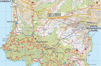
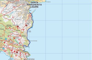
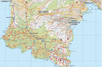
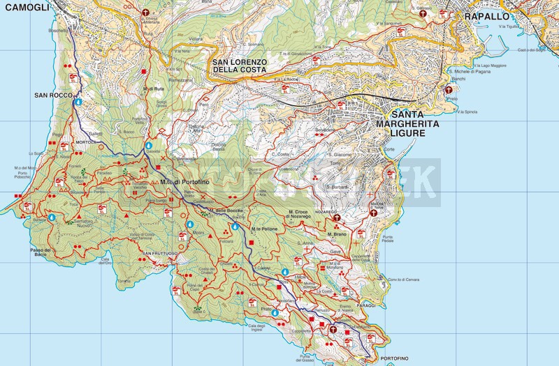
Portofino - Pietre strette - San Rocco - Camogli


| Difficulty | Medium |
| Duration | 3h 30' |
| Length km. | 8,100 |
| Footpath signs | |
You can support us by becoming one of our Supporters.
A great little help that will allow you to access all the contents of the site.
Are you already Supporter?
Log in now
Once in Portofino , take the path that climbs to the left from the bus stop (in front of the church); an uphill path, at times particularly steep, goes through high walls from which you can glimpse beautiful villas and well-kept private gardens.
In this first part of the itinerary you will be accompanied by enchanting views of the bay of Paraggi .
The driveway * is wide and well...
You can support us by becoming one of our Supporters.
A great little help that will allow you to access all the contents of the site.
Are you already Supporter?
Log in now
You might also be interested in
| Difficulty | Medium |
| Duration | 3h 30' |
| Length km. | 8,100 |
| Footpath signs | |