- Out-of-Stock
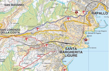
Portofino Vetta - San Lorenzo della Costa


| Difficulty | Low |
| Duration | 45' |
| Length Km. | 1,950 |
| Footpath signs | |
Once you enter the Park access road, in front of the car parking area, continue behind the currently closed Hotel to access the trails.
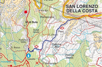
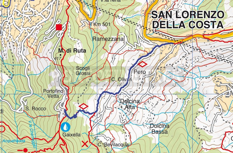
Here, a first trail is marked that leads to San Lorenzo della Costa (Costa Ramezzana, Agriturismo il Monte, Violara, Km 501). However, you need to continue in the direction of Pietre Strette, and after about 200 meters, turn left following the signs for Dolcina-San Lorenzo della Costa, following the empty diamond as the trail marker.
The trail begins with a stone staircase that descends through the woods and then passes through well-maintained terraces with some olive trees, reaching the first isolated houses.
As you approach Dolcina, a small cluster of beautiful houses, the view of Santa Margherita Ligure becomes increasingly spectacular.
Once past the village, the mule track ends with an easy staircase that leads to the upper part of Via Giuntini, a drivable road that descends among villas and gardens and, after about 800 meters, intersects with Via Simone Stefani.
Here, by descending to the right, you'll quickly arrive at the square of the Church of San Lorenzo della Costa.
From here, for those who want to continue on foot, there are several options: descend to Santa Margherita Ligure, following Via Romana, the ancient mule track that you'll find about 200 meters after the Church, to the right; go to Rapallo passing through San Massimo or follow the reverse of our Rapallo - San Lorenzo della Costa.
The alternative is taking public buses.
Unlock, view and download the gpx track by becoming a Supporter.
Data sheet
You might also be interested in
| Difficulty | Low |
| Duration | 45' |
| Length Km. | 1,950 |
| Footpath signs | |