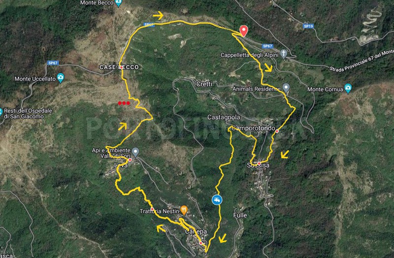
Case Cornua - Sussisa - Canepa - Levà - Case Becco

| Difficulty | Low |
| Duration | 3h 30' |
| Length km. | 8,600 |
| Footpath sign | |
You can support us by becoming one of our Supporters.
A great little help that will allow you to access all the contents of the site.
Are you already Supporter?
Log in now
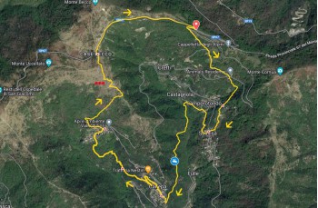
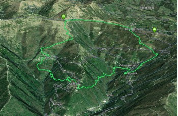
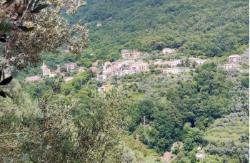
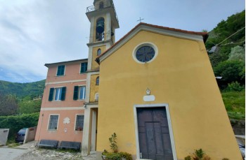
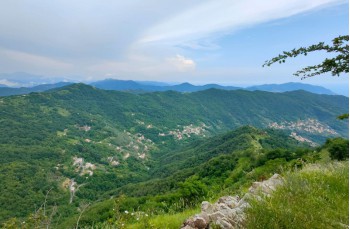
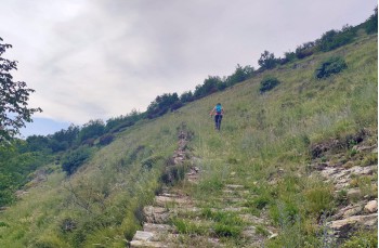
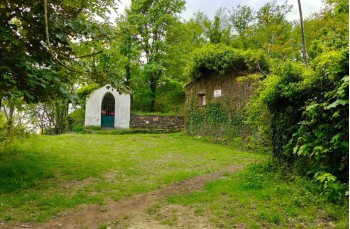
The itinerary starts at Case Cornua, a locality in the municipality of Sori, bordering the municipality of Lumarzo, on the provincial road of Monte Fasce. Here, you descend along the provincial road of Monte Cornua (Via Bisagno), and after the first hairpin turn, you take the trail descending to the right. After approximately 400 meters, you pass behind a beautiful rustic building with wide meadows. Continuing the descent, you cross the...
You can support us by becoming one of our Supporters.
A great little help that will allow you to access all the contents of the site.
Are you already Supporter?
Log in now
| Difficulty | Low |
| Duration | 3h 30' |
| Length km. | 8,600 |
| Footpath sign | |