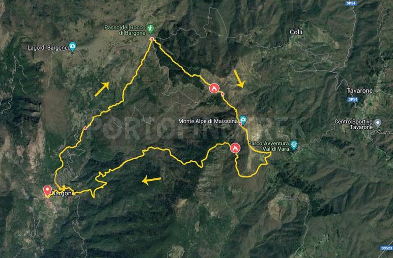
Trail ring Bargone - Bocco di Bargone - Monte Alpe

| Difficulty | Medium |
| Duration | 6h |
| Length km. | 14,500 |
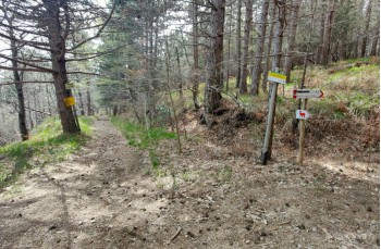
| Footpath signs | |
You can support us by becoming one of our Supporters.
A great little help that will allow you to access all the contents of the site.
Are you already Supporter?
Log in now
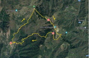
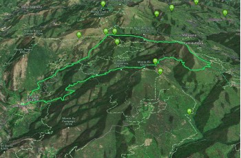
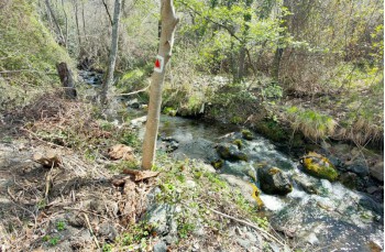
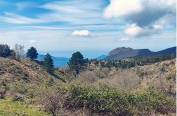
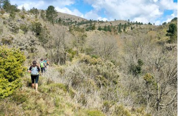
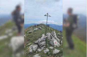
Circular itinerary starting from Bargone, a small hamlet of Casarza Ligure, that leads to the summit of Mount Alpe (1,094 m above sea level) in the Val di Vara. As there are no water sources along the way, it is recommended to stock up before starting the hike.
The starting point is in the small square of this charming village (reachable in about 15 minutes by car from the Sestri Levante exit), where there are several parking spots,...
You can support us by becoming one of our Supporters.
A great little help that will allow you to access all the contents of the site.
Are you already Supporter?
Log in now
| Difficulty | Medium |
| Duration | 6h |
| Length km. | 14,500 |
| Footpath signs | |