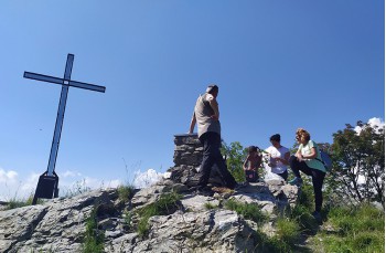
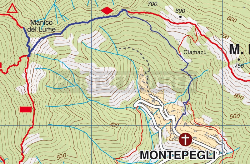
Montepegli - Manico del Lume

| Difficulty | Medium |
| Duration | 1h 30' |
| Length Km | 2,400 |
| Footpath sign | |
You can support us by becoming one of our Supporters.
A great little help that will allow you to access all the contents of the site.
Are you already Supporter?
Log in now
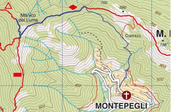
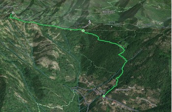
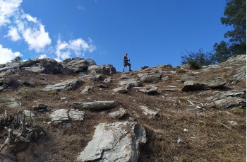
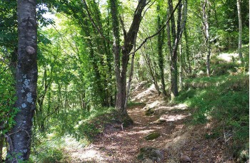
Itinerary to reach Manico del Lume starting from Montepegli, a hamlet of Rapallo, reachable from the motorway exit by following the direction to San Pietro di Novella and turning right shortly after passing the cemetery.
Once you reach the first houses of the small village, park your car in the first available spot along the road and continue until you find, on the left on the uphill side (near a bend), a very...
You can support us by becoming one of our Supporters.
A great little help that will allow you to access all the contents of the site.
Are you already Supporter?
Log in now
| Difficulty | Medium |
| Duration | 1h 30' |
| Length Km | 2,400 |
| Footpath sign | |