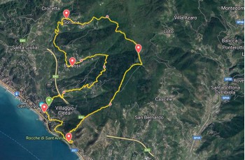
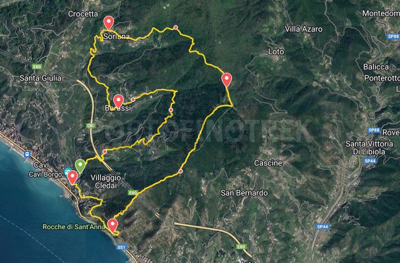
Cavi - Barassi - Sorlana - Monte Costello - Rocche di Sant'Anna - Cavi

| Difficulty | Medium |
| Duration | 4h 30' |
| Length Km | 13,300 |
| Footpath signs | |
You can support us by becoming one of our Supporters.
A great little help that will allow you to access all the contents of the site.
Are you already Supporter?
Log in now
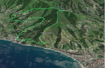
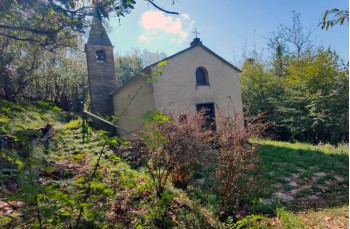
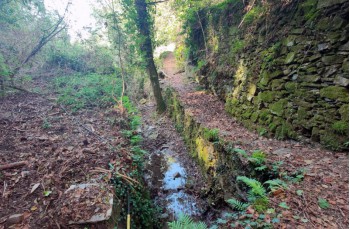
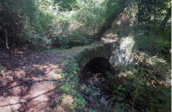
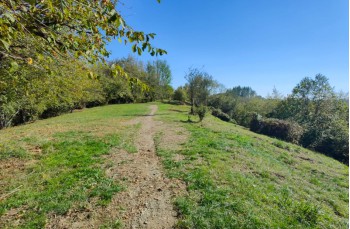
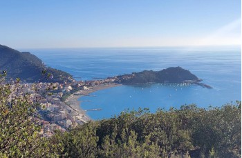
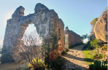
This circular itinerary allows you to discover the hilly area of Lavagna, crossing delightful villages and different natural environments, ending with a spectacular descent towards Rocche di Sant'Anna.
Along the route, there are no sources of drinking water.
The starting point is Cavi di Lavagna (specifically Cavi Borgo), on Via Lungo Torrente Barassi, where, immediately after the...
You can support us by becoming one of our Supporters.
A great little help that will allow you to access all the contents of the site.
Are you already Supporter?
Log in now
| Difficulty | Medium |
| Duration | 4h 30' |
| Length Km | 13,300 |
| Footpath signs | |