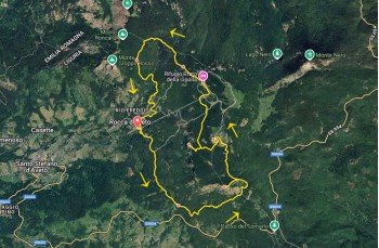
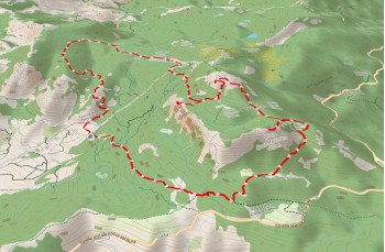
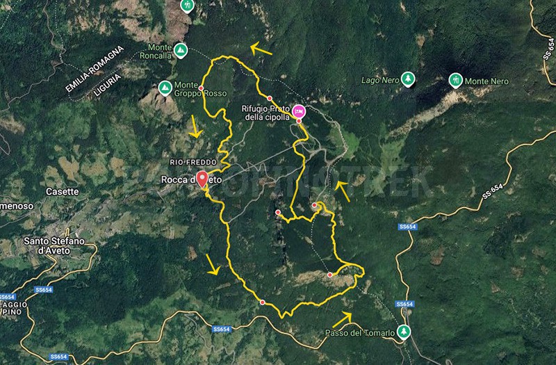
Circular trail Rocca d'Aveto - Monte Maggiorasca

| Difficulty | Medium |
| Duration | 5h 00' |
| Length Km | 11,700 |
| Footpath signs | |
You can support us by becoming one of our Supporters.
A great little help that will allow you to access all the contents of the site.
Are you already Supporter?
Log in now
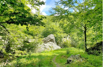
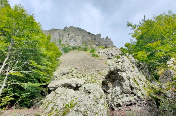
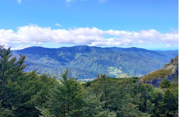
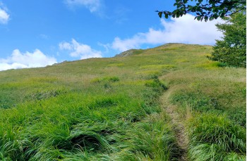
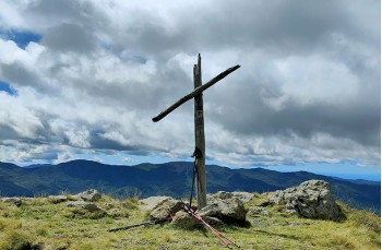
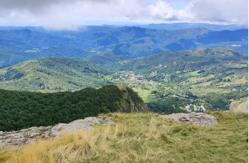
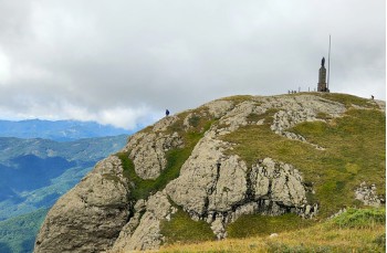
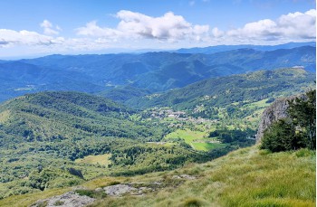
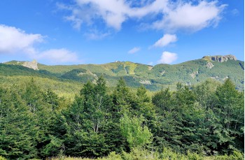
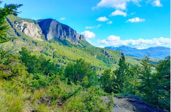
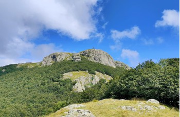
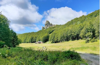
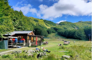
A loop itinerary from Santo Stefano D’Aveto, not particularly demanding, that leads to the peaks of three very scenic mountains of the Ligurian Apennines.
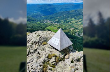
The starting point is Rocca D’Aveto, a small locality 3 kilometers from Santo Stefano, reachable in just under two hours from Chiavari by following the SP 654, or from Val Fontanabuona by taking the SP 23 from Cicagna up to Passo...
You can support us by becoming one of our Supporters.
A great little help that will allow you to access all the contents of the site.
Are you already Supporter?
Log in now
| Difficulty | Medium |
| Duration | 5h 00' |
| Length Km | 11,700 |
| Footpath signs | |