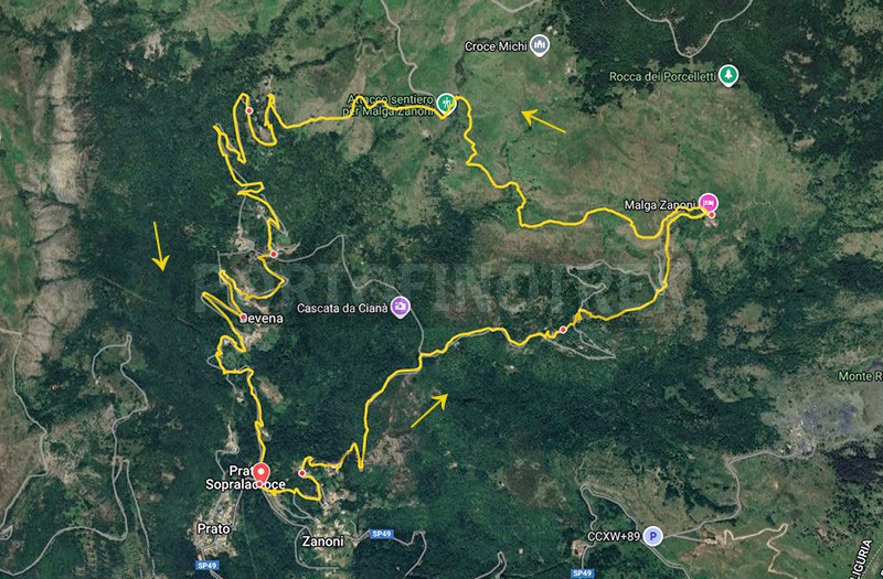
Circular trail Prato sopralacroce - Malga Zanoni

Difficulty Low
Duration 3h 30'
Length km. 10,400
Footpath signs triangolocroce
Dislivello561m - 1093m | dislivello positivo 745m | dislivello positivo 745m
PartenzaStarting point
Passing through

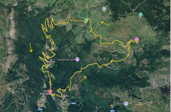
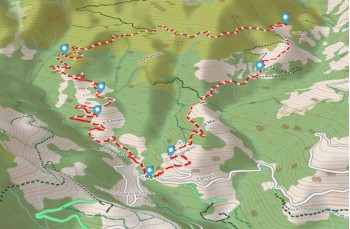
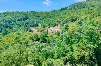
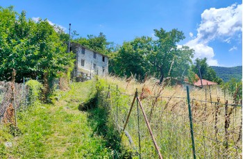
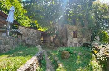
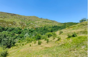
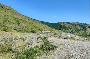
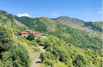
A loop itinerary from Prato Sopralacroce leading to Malga Zanoni, a mountain hut at 1100 meters above sea level.

To reach Prato Sopralacroce, follow the SP 586 of the Val D’Aveto to Borzonasca, then turn left onto the SP 49 just after the cemetery and continue for 7 kilometers.
Parking is available at the beginning of the village or along the road.
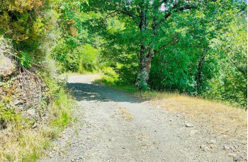
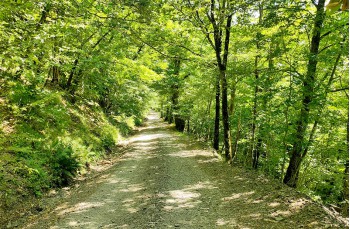
Continue along the carriage road, passing through the village until you reach a bus stop with several signs. Below the building that houses a residence for the elderly, you’ll find a small staircase marked with two trail markers: triangle and cross

The route ascends along the road, which is left at two points when the trail markers indicate shortcuts through the woods, passing between some stone buildings that house a charming B&B.

The trail climbs through a beautiful chestnut forest and reaches a dirt road, which you follow to the right, ignoring a first detour to the left for the ferruginous spring and the small chapel of the Madonna del Sogno (as of July 2025, this path is closed due to a landslide), and a later one to the Cascata de Cianà.

Continuing straight along the main trail, you reach the point where a path branches off to the left, heading towards Malga Zanoni.

This is a beautiful trail that climbs towards the ridge, crossing open meadows and later entering the forest to reach the tiny, slowly being restored hamlet of Case Poragine.

Climbing a few more meters, you reach a carriage road. Follow it to the left for a couple of bends, then rejoin the trail, which climbs briefly through the woods and then continues on grassy terrain (at certain times of the year the grass can be particularly tall), in a more open and panoramic environment, with views of the hut reached with a final steep climb (1h 30' from Prato Sopralacroce).

Malga Zanoni, located at 1100 meters altitude, offers food and lodging (contact in advance to check openings and availability).

Behind the building, several trails start, well marked by signs from the Parco Dell’Aveto. Our route continues to the left, towards Malga Perlezzi.
The trail, on gravel terrain, runs flat along the water conduit, following the shape of the mountain with wide views of the valley below.

After crossing a stream with a small dam, you reach a junction where you leave the trail climbing to the ridge and descend onto a dirt road.

The road descends entirely, soon becoming paved and passing through the quiet hamlets of Case Cogozzo, I Crosi, and Bevena before joining the SP 49 at Prato Sopralacroce, a few meters from the village center.

The path on Google Map

Unlock, view and download the gpx track by becoming a Supporter.

Data sheet

Time
From 3h to 4h
Length Km
10 - 15
Difficulty
Low

Download

Download is reserved for Portofinotrek supporters.

You can support us by becoming one of our Supporters.
A great little help that will allow you to access all the contents of the site.

Learn more.

Are you already Supporter?
Log in now