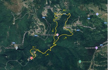
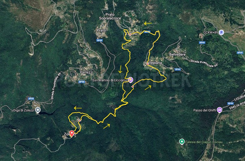
Circular trail Zolezzi - Chiesa di Licciorno - Vallepiana - Zanoni

| Difficulty | Low |
| Duration | 2h 30' |
| Length km. | 7,500 |
| Footpath signs | |
A short and easy loop trail in the Sturla Valley leads to the forest where the evocative ruins of the church of San Martino di Licciorno are preserved.
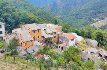
The hike starts from Zolezzi, which can be reached from Carasco by following the SP 586 until the beginning of Borzonasca, where signs for the village lead up to the right for about 8 kilometers.
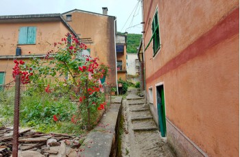
After parking near the first houses, continue along the carriage road, passing under the church, then proceed along a dirt road that leads to the last houses in the locality Colletta.
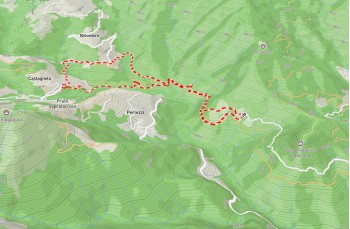
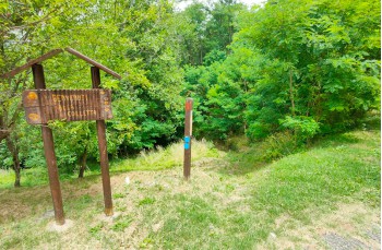
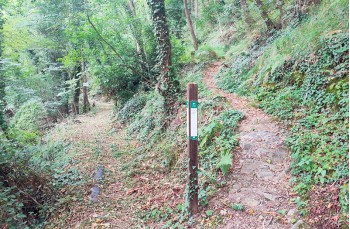
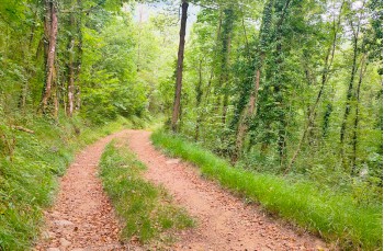
Here, a signpost of the Aveto Park invites you to descend into the woods following the trail marker ![]() and continue along a beautiful shaded path that runs flat.
and continue along a beautiful shaded path that runs flat.
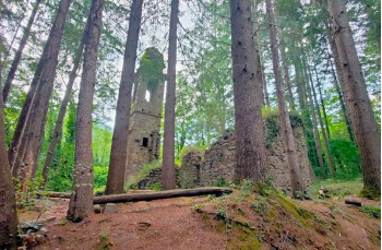
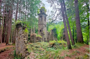
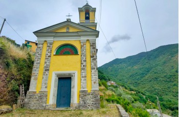
At a fork, the signs direct you onto an uphill path that, in about 10 minutes, leads to the forest where the bell tower of the church of San Martino di Licciorno appears among the trees, followed by the remains of the church, considered one of the oldest in the hinterland.
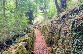
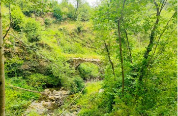
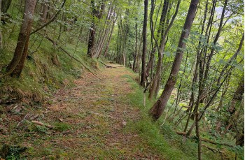
Still following the same trail marker, continue through the forest on a clearly visible path that alternates uphill stretches with flatter sections, where, in two places, the stream is crossed via small wooden bridges.
Once on the carriage road, cross it to immediately find the trail again, which climbs through cultivated terraces and emerges beneath the Church of the Nativity of the Virgin Mary in Vallepiana hamlet.
From the village, made up of a small group of houses, follow the SP 49 to the left, a quiet road surrounded by greenery, for 1 kilometer until you reach the settlement of Zanoni.
Past the last houses, descend to the left along a secondary paved road for a couple of curves, then leave it when a wide dirt road branches off to the right.
(Since this stretch involves fording the stream a couple of times, it is recommended to continue to Prato Sopralacroce and descend via the trail marked with ![]() during winter or after heavy rains).
during winter or after heavy rains).
Descend to the stream, which is forded at two points, then continue to meet the trail descending from Prato Sopralacroce, marked with ![]() .
.
Always following the trail marker ![]() , continue along the forest road; after a short climb, turn left to ascend and rejoin the outbound trail marked with
, continue along the forest road; after a short climb, turn left to ascend and rejoin the outbound trail marked with ![]() .
.
Here, turn right and follow the original path back to the junction that climbs to Villa Zolezzi.
Take a short variation by continuing straight along a path that crosses a small chestnut grove.
Near the village, ascend to the left through the fields to reach Zolezzi from below, with the option of walking through this peaceful hamlet.
Unlock, view and download the gpx track by becoming a Supporter.
Data sheet
| Difficulty | Low |
| Duration | 2h 30' |
| Length km. | 7,500 |
| Footpath signs | |