- Out-of-Stock
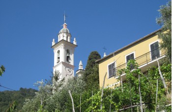
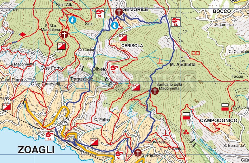
Zoagli - San Pietro di Rovereto - Santuario della Madonnetta - Semorile - Zoagli
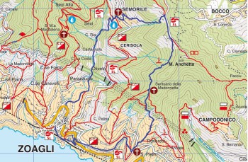
Difficulty | Medium |
Duration | 3h 20' |
Length Km | 7,200 |
Footpath signs | ![]() ![]() |
![]() ![]() ![]() | |
![]() |
The itinerary we are proposing does not have its own signpost but is well marked by indicator posts and, for some short stretches, it follows the signpost which leads to Santuario delle Grazie and than to Chiavari and
5 campanili sign trail.
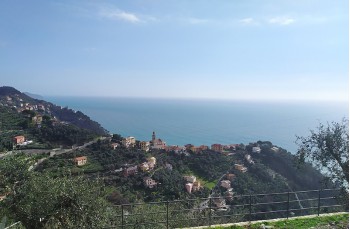
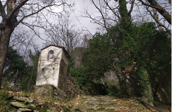
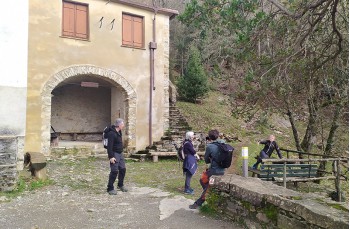
The departure is from the Zoagli's small square with the stairway on the left (looking at the sea) that goes up, then following the signs for San Pietro di Rovereto.
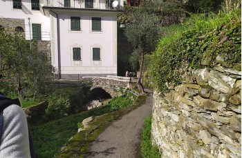
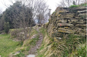
Continue uphill for a few meters and then cross it and always follow the signs, on the left, to San Pietro: it is an asphalted road which passes in front of one of the last two silk factories in the town, and then continues uphill between the houses. After about 10 minutes, take the left Salita Montà, a staircase that leads onto a pedestrian street that leads directly under the church of San Pietro.
Here we go to the left until we reach Via dei Tessitori , a driveway that runs for about 150 meters until we meet, on the right, the signs for Via al Santuario della Madonnetta. The path is well maintained, initially it passes by some houses offering beautiful views of the sea, then climbs into the woods, for some stretches flanked by ancient dry stone walls, and after about 1h 30 minutes from departure, it ends in front of the small dedicated church to the Madonna Causa Nostrae Laetitia ( known as the Sanctuary of the Madonnetta ) which was built at the end of 1700 and is now open only for the celebrations, on the first Sunday of September.
The surrounding area, due to the presence of wooden tables and benches, is an ideal corner for a lunch or snack.
We continue to the left of the Sanctuary, following the signpost , on the flat path that in 20 minutes leads to Passo dell 'Anchetta, on the ridge that connects Montallegro to Chiavari, a highly panoramic point from where you can admire the promontory of Portofino and the Gulf of Tigullio.
Here you follow the driveway to the left for a few meters to then take the path on the left that descends towards Semorile.
This is a good mule track that goes back down into the woods (a bit slippery when wet) and in 35 minutes, crossing the houses of the picturesque village, reaches the square of the Semorile church.
A few meters from the church there is a drinking water faucet, the only one on the entire route .
The descent towards Zoagli, marked by the indicator posts, begins with a few steps and then continues on an ancient and wide stone mule track very well maintained that descends between chestnut and olive trees and runs along Via dei Mulini, so for the ancient presence of mills, of which some evidence remains.
This section of the path is enriched by a touch of art: it is some unique and original sculptures arranged along the path, made with recycled material by the artist Rita Tomasoni.
Along the rio Semorile , you will arrive under the highway bridge, continue on the flat for about 300 meters and after passing the deviation on the left to Via Cave after about 200 meters you will find a staircase on the right that ends on the road that leads to the parking lot and therefore in the center of Zoagli.
Unlock, view and download the trail track by purchasing a map.
Data sheet
You might also be interested in