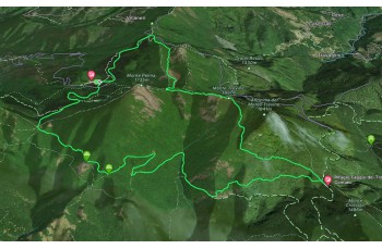
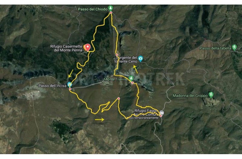
Casermette del Penna and Monte Trevine circular trail


| Difficulty | Easy |
| Duration | 3h 50' |
| Length Km | 11,100 |
| Footpath signs | |
You can support us by becoming one of our Supporters.
A great little help that will allow you to access all the contents of the site.
Are you already Supporter?
Log in now
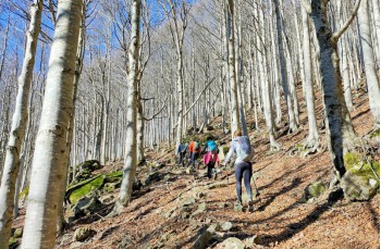
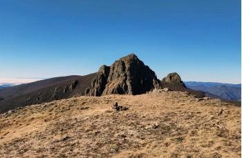
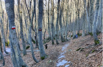
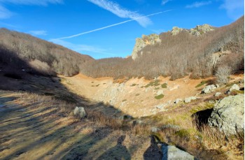
This is a simple itinerary between Liguria and Emilia Romagna, starting from the Rifugio Casermette del Monte Penna at 1390 meters (there's the possibility to eat and sleep all year round, but it is recommended to book in advance), reachable by following the SP 586, which connects Chiavari to Val D'Aveto, until reaching the location Gramizza where you leave it to go up on the right, passing through the...
You can support us by becoming one of our Supporters.
A great little help that will allow you to access all the contents of the site.
Are you already Supporter?
Log in now
| Difficulty | Easy |
| Duration | 3h 50' |
| Length Km | 11,100 |
| Footpath signs | |