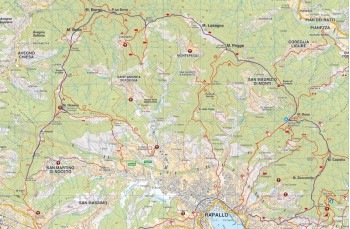
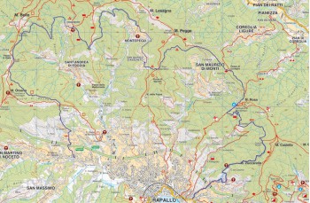
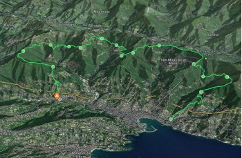
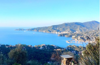
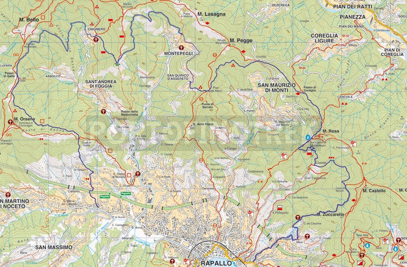
Trail du giamin from Rapallo
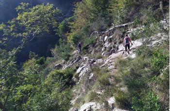

| Difficolty | Medium - High |
| Duration | 9h |
| Length Km. | 24,500 |
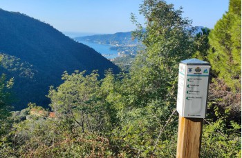
| Footpath signs |  |
You can support us by becoming one of our Supporters.
A great little help that will allow you to access all the contents of the site.
Are you already Supporter?
Log in now
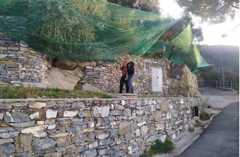
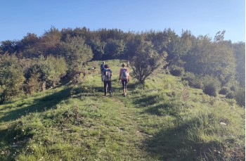
The "Trail du giamin" is an itinerary conceived by a group of passionate hikers and so called because it crosses some hamlets of Rapallo where once the peasants worked the land with hard work and passion (from the Genoese dialect "giaminà" = to work with effort).
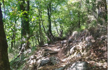
It is a long route without water sources (with the exception of Montallegro), so it is recommended:
- a correct preparation causes the length of the...
You can support us by becoming one of our Supporters.
A great little help that will allow you to access all the contents of the site.
Are you already Supporter?
Log in now
You might also be interested in
| Difficolty | Medium - High |
| Duration | 9h |
| Length Km. | 24,500 |
| Footpath signs | |