
- today
- label News
- favorite 0 likes
- remove_red_eye 12098 views
In the digital age in which we rely on GPS to orient ourselves in every corner of the world, we have realized that there is still a demand for paper maps with an often limited supply.
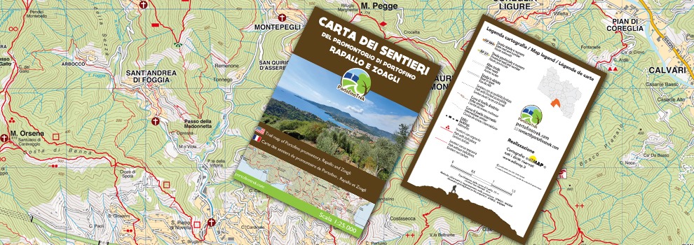
A reason that has convinced us to invest in our project by creating a map with the approximately 300 km of paths that we have traveled and traced over the years, in the area between Camogli to Zoagli , including the < strong> Promontory of Portofino , Rapallo and Santa Margherita Ligure , up to Chiavari .
In this map we have reported both the best known paths, marked with specific trail markers, and ancient paths that once connected the various hamlets with the city center, especially in the Rapallo area, but which with the advent of the driveway have been abandoned and forgotten but that today (fortunately) they are in the process of recovery thanks to the interest of enthusiasts like us and volunteers willing to clean them up.
And it is precisely this path part, with its unknown corners of incredible beauty, that has fascinated more and that we would like it to be valued as it deserves.
In addition, by scanning the QRCODE on the back, you can:
- have access to the itineraries suggested on the website, divided by place of departure.
- access the "updates section" where we will report any changes that may occur in the future relating to the paths shown on the map.
Details:
- Scale 1:25.000
- Size: cm.48 x cm.68 (open) cm.12 x cm.17 (folded)
- Printed by: Edimap Torino
- Each map comes with a transparent case.
Price: € 7,50
Where to buy it :
- Directly on website
- At the points of sale shown on this map.